Long before European ships entered Asian waters, a dense web of maritime trade routes connected India, China, and the islands and peninsulas of Southeast Asia into one of the most dynamic commercial zones in the pre-modern world. Sitting astride the sea lanes that linked the Indian Ocean to the South China Sea, Southeast Asian kingdoms and port cities built their prosperity on the simple fact of geography: ships sailing between India and China had to pass through or near the Malay Peninsula, the Indonesian archipelago, or the Gulf of Thailand, and the communities that controlled these passages could tax, provision, and broker the trade that flowed through them.
Geography and the Monsoon Engine of Trade
The predictability of the monsoon wind system made long-distance sailing across the Bay of Bengal, the Indian Ocean, and the South China Sea viable centuries before the development of advanced European navigational instruments. Winds generally blow from the northeast during the winter months and reverse to blow from the southwest during the summer monsoon, allowing sailors to plan voyages that would carry them outward on one monsoon and bring them home on the next. This rhythm shaped the entire calendar of Southeast Asian maritime commerce, as merchants from India, Arabia, and China converged on regional ports to wait out the months between favorable winds, exchanging goods and, often, residing for extended periods in cosmopolitan trading communities.
Narrow passages such as the Strait of Malacca, between the Malay Peninsula and the island of Sumatra, and the Sunda Strait, between Sumatra and Java, became natural chokepoints. Any political authority that could secure control, or at least a cooperative relationship, with shipping passing through these straits stood to profit enormously from tolls, harbor fees, and the provisioning trade.
Shipbuilding, Seafaring Skill, and Local Technology
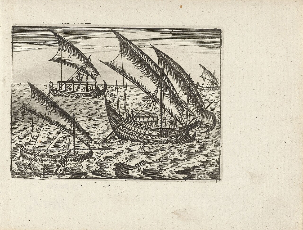
None of this exchange would have been possible without the seafaring knowledge and shipbuilding traditions developed by Austronesian-speaking peoples across the Indonesian and Philippine archipelagos long before large-scale contact with Indian, Arab, or Chinese traders. Many archaeologists and linguists trace Austronesian maritime expertise back well over three thousand years, pointing to outrigger canoe technology and sophisticated techniques for reading winds, currents, and stars that allowed sustained voyaging across open water long before comparable navigational tools existed in much of the rest of the world. Local shipwrights in the region built vessels using techniques distinct from Mediterranean or Chinese traditions, including plank-built hulls stitched or pegged together rather than nailed, and these ships carried much of the region's internal trade even as foreign vessels, including Chinese junks and later Indian and Arab dhows, also called at regional ports.
This local maritime capability meant that Southeast Asia was never simply a passive crossroads where foreign merchants met one another; it was home to its own skilled sailors, shipbuilders, and merchant communities who actively carried goods between regional ports and onward toward India and China. Interior and coastal polities both depended on this expertise, and port rulers often drew political legitimacy as much from their ability to command loyal fleets and skilled crews as from control of land and agricultural production.
Early Kingdoms and Trading Networks
Archaeological and textual evidence points to organized maritime trading polities in the region from at least the early centuries of the Common Era, including the kingdom of Funan in the Mekong Delta region. Many historians consider the maritime state of Srivijaya, centered on southeastern Sumatra and rising to prominence around the seventh century, to be among the first Southeast Asian polities to dominate the Malacca and Sunda straits for an extended period, drawing wealth from its position as an entrepot linking Chinese, Indian, and Arab trade networks. Srivijaya's influence lasted in various forms for several centuries before giving way to other maritime powers, including the Javanese kingdom of Majapahit, which many sources describe as reaching its greatest territorial and commercial influence in the fourteenth century.
Goods flowing through this network were remarkably diverse: pepper and other spices from the islands, aromatic woods and resins such as camphor and benzoin, Chinese ceramics and silk, Indian textiles, and metal goods all moved through regional ports, often changing hands multiple times before reaching their final markets. This trade connected directly into the broader currents described in accounts of the historical spice trade, since many of the most valuable spices reaching Europe and the Middle East originated in or passed through Southeast Asian waters.
Cosmopolitan Port Cities and the Rise of Melaka
By the fifteenth century, the port city of Melaka, on the Malay Peninsula, had emerged as one of the most important trading centers in maritime Asia. Melaka's rulers cultivated a deliberately cosmopolitan and commercially welcoming environment, hosting resident merchant communities from China, India, Arabia, Java, and elsewhere, each often governed by its own harbor master and subject to agreed commercial customs. The city's prosperity was reinforced by its role as a stopping point for the large Chinese maritime expeditions launched under the Ming dynasty in the early fifteenth century, which many historians date to roughly 1405 through 1433, and which brought Chinese ships into direct, if temporary, contact with Southeast Asian, South Asian, and East African ports.
Melaka's wealth and strategic position made it an obvious target once European maritime powers began seeking direct access to Asian trade. The city illustrates how deeply interconnected Southeast Asian commerce already was with the wider trading world described in the account of medieval regional markets developing simultaneously in Europe, even though the two systems had only indirect contact with one another before the sixteenth century.
European Arrival and Disruption
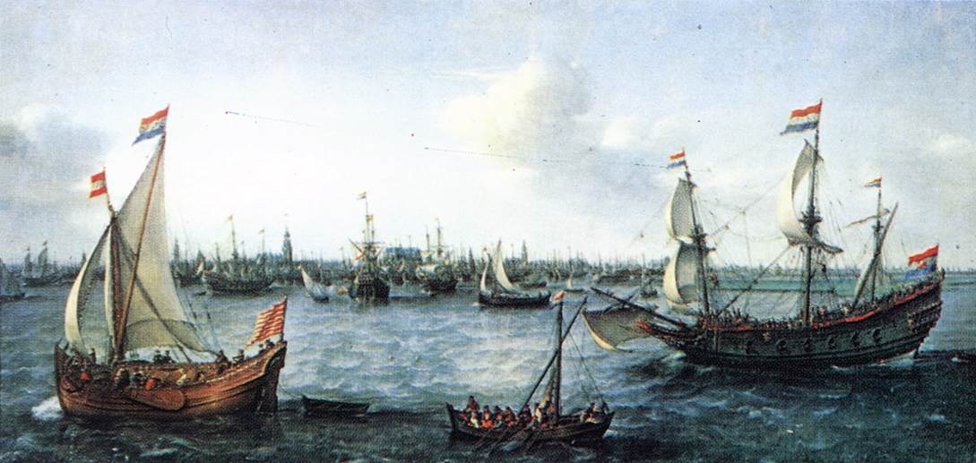
Portuguese forces captured Melaka in 1511, seeking to seize control of its lucrative trade rather than simply participate in it as earlier Arab, Indian, and Chinese merchants had done. This conquest marked the beginning of a long period in which European powers, first Portugal, later the Dutch Republic through the Dutch East India Company, and eventually Britain, sought to impose direct control over Southeast Asian ports and shipping lanes rather than trading on terms set by local rulers. The consequences for existing regional trading networks were often severe: established merchant communities were displaced or marginalized, local rulers who resisted faced military retaliation, and the Dutch company in particular imposed monopoly arrangements on spice-producing areas that reshaped local economies and, in some cases, devastated local populations.
At the same time, it would be inaccurate to describe Southeast Asian maritime trade as either wholly cooperative before European arrival or wholly destroyed afterward. Regional rulers before the sixteenth century regularly used naval force to control trade and extract tribute from weaker neighbors, and many local trading networks persisted, adapted, or found new niches alongside European colonial trade well into the nineteenth century.
Lasting Significance
The maritime routes that Southeast Asian kingdoms, merchants, and sailors built and maintained for well over a thousand years established the Strait of Malacca and neighboring waters as one of the most important commercial corridors on Earth, a status the region retains today, with a very large share of modern global shipping still passing through the same narrow channels that Srivijaya and Melaka once controlled. The history of this region offers a clear example of how geography, seasonal wind patterns, and sustained cross-cultural commercial cooperation, more than any single ruler or expedition, built an enduring trade network whose basic shape has persisted from antiquity into the age of container shipping, a continuity worth exploring further in the broader timeline of the maritime era.